


Products / ApplicationsTelecom
 dtcSeptember 7, 20252.6k
Suhora Reveals Satellite-Based Assessment of Dharali Flash Flood


Related Articles
InfrastructureTelecom
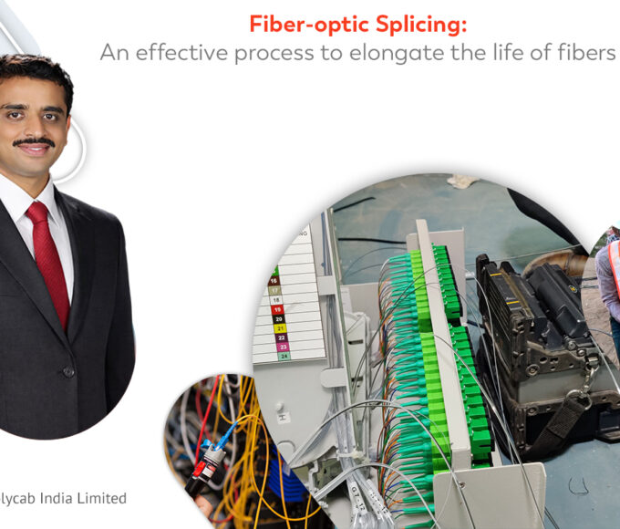
Fiber-optic Splicing: An effective process to elongate the life of fibers
Splicing of optical fibers is an effective technique to join two Optical Fiber...
InfrastructureTelecom
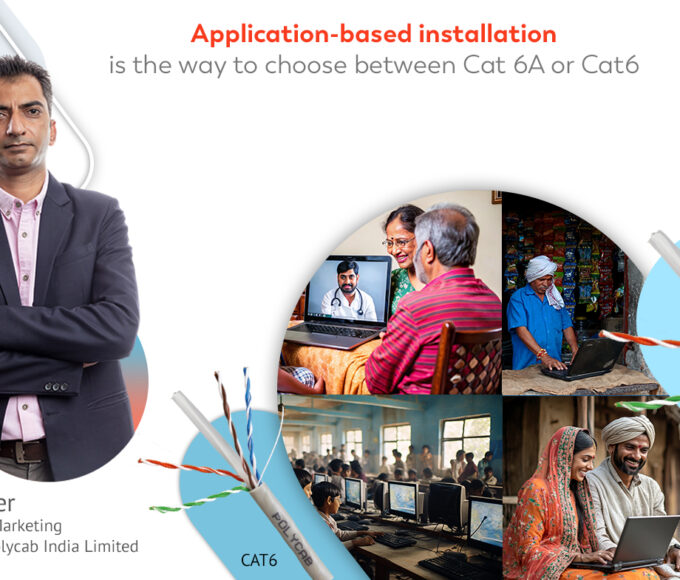
Application-based installation is the way to choose between Cat 6A or Cat6
Choice of cables as per their definite applications is one of the...

EnterpriseInfrastructureTelecom
Setting up of SNOC for TANFINET has been a stamp of success for us
A Network Operations Centre (NOC) is a centralized site which is precisely...
Telecom
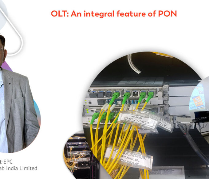
OLT: An integral feature of PON
Fiber-optic technology has been the game-changer in the network infrastructure-development in recent...